The following is a list of mountains in Thailand. The altitudes are in metres. For the names of the mountains in the Roman script the Royal Thai General System of Transcription has been adopted.

Many mountains in the country are not important because of their height, but because of their symbolic and cultural significance. Some mountains have Buddhist worship places on top, like Doi Suthep close to Chiang Mai, while others have been adopted as provincial symbol, like relatively small Khao Sam Muk in Chonburi Province. Nevertheless, since the order of height is convenient, the list follows this order, without in any way intending to diminish or promote the importance of any particular mountain.

The Angkhang Nature Resort is the ideal base from which to explore the area. Visit the local hilltribes and the Royal Agricultural Project. Take a mule-ride up the hillside or for the more energetic hire a mountain bike to go exploring.
There are many walking trails around the resort. Nature lovers will notice many rare species of plant and birds in the surrounding countryside.

This remote mountainous region is located in upnorth Chiangmai. The vast area extends to the border of Myanmar and was once covered with hill evergreen forests. The heavy demand of cultivating land had led to the heavy deforestation and turned the dense woods to fruitlands and paddyfields. However, the natural altitudinal terrain of its 1,928 meter peak and the mingled biosphere of the remaining forests with deformed fruitlands has made Doi Ang Khang home of a myriad of resident and migrated birds. Birders from abroad seldom miss the chance to get there as the weather on the Doi (mountain) is pleasantly cool all year around and there are many superb birding trails.

Hume's Pheasant, Rufous-winged Buzzard, Black Eagle, Mountain Bamboo-Partridge, Golden-throated Barbet, Crimson-breasted Woodpecker, Bay Woodpecker, Rusty-naped Pitta, Short-billed Minivet, Long-tailed Minivet, Crested Finchbill Bulbul, Marron Oriole, Fire-capped Tit, Giant Nuthatch, Rusty-cheeked Scimitar-Babbler, Red-tailed Laughingthrush, Red-faced Liocichla, Spot-breasted Parrotbill, Daurian Redstart, Rufous-gorgetted Flycatcher, Slaty-blue Flycatcher, Black-headed Greenfinch, Little Bunting, Chestnut Bunting, etc.

During the winter, tourists like to travel to the Chaing Mai Province to camp and enjoy the blooming winter plants. Doi Ang Khang standing 1,900 meters above sea level, borders Burma and is located in Amphoe Chai Prakan.

The Road to Doi Ang Khang: While driving to Doi Ang Khang, you will see many multihued flowers adorning the roadside. However, the road here is steep and winding, so viewing should be left to the passengers.

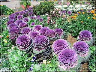
The Doi Ang Khang Royal Project: The Doi Ang Khang Royal Project is an agricultural station where they study horticulture. Here, in this fifty Rais (80,000 square meters) area, you will be able to see a vast array of indigenous and foreign plants.

The San KiewLom Viewpoint: From this viewpoint, you can overlook an ocean of fog in the morning, while the afternoons bring visions of villages and life below.

The Border Village: Three kilometers from the viewpoint is the Border Village. Here you can see the hill tribe people.

ไม่มีความคิดเห็น:
แสดงความคิดเห็น